
The hiking technology and tools available to hikers now range from advanced GPS watches, map apps on your smartphone, and dedicated GPS units, so why do hikers still use topographic maps?
Hikers use topographic maps to help identify their current location, pinpoint their target destination, and be able to read the land safely and accurately as they move across the varying terrain. Topographic maps provide pinpoint markings to hikers so they know what to expect of their surroundings from steep cliffs, waterfalls, river crossings, and other obstacles.
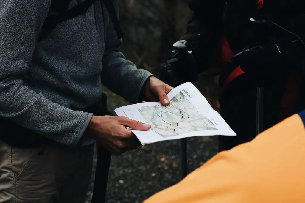
Topographic maps provide hikers with many great benefits. When looking at a topographic map for the first time, there is a lot going on regarding the contour lines, map colors, and various shapes, but when do you actually need to bring a topographic map? There are many things to consider when deciding if you need the benefits of a topographic map on your next hike.
When Should You Bring a Topographic Map
Backpacking
If you are planning on going backpacking it is a good idea to bring a topographic map. Since you are heading deeper into the trails self-supported then you should consider bringing a topographic map so you can be prepared for changing conditions on the trail.
Since you will be backpacking for a few days with no power, then a topographic map will provide you with 100% reliability as you don’t need to rely on any kind of electronics. Topographic maps are also incredibly lightweight compared to GPS devices, so bringing them on your backpacking trip the benefits literally outweigh the cons.
Off-trail Trips
If you are hiking in a new area and plan to go completely off-trail then you should definitely bring a topographic map. The topographic map will help you stay oriented as you make your own trail. You will be able to reference significant landmarks and be able to route plan in a more strategic way.
Exploring a new area off-trail can be tricky, but by bringing a topographic map you can plan your ascents and descents, find sources of water if available, and even locate hiking trails or roads if necessary.
Off-roading Trips
If you are going on an off-roading trip and are also hiking then bringing a topographic map would help you while you are in your car and out on your hikes. You will be able to use the contour maps to scale more gradual hills and slopes and be able to avoid more steeper sketchier terrain. The topographic map will allow your off-road vehicle to plot a path forward on safer terrain.
If you are heading to a new area or want to explore a path you have not driven on before, then a topographic map will allow you to plot a path to a new area that has just enough off-roading adventure for your trip.
What are the Advantages of a Topographic Map over a GPS?
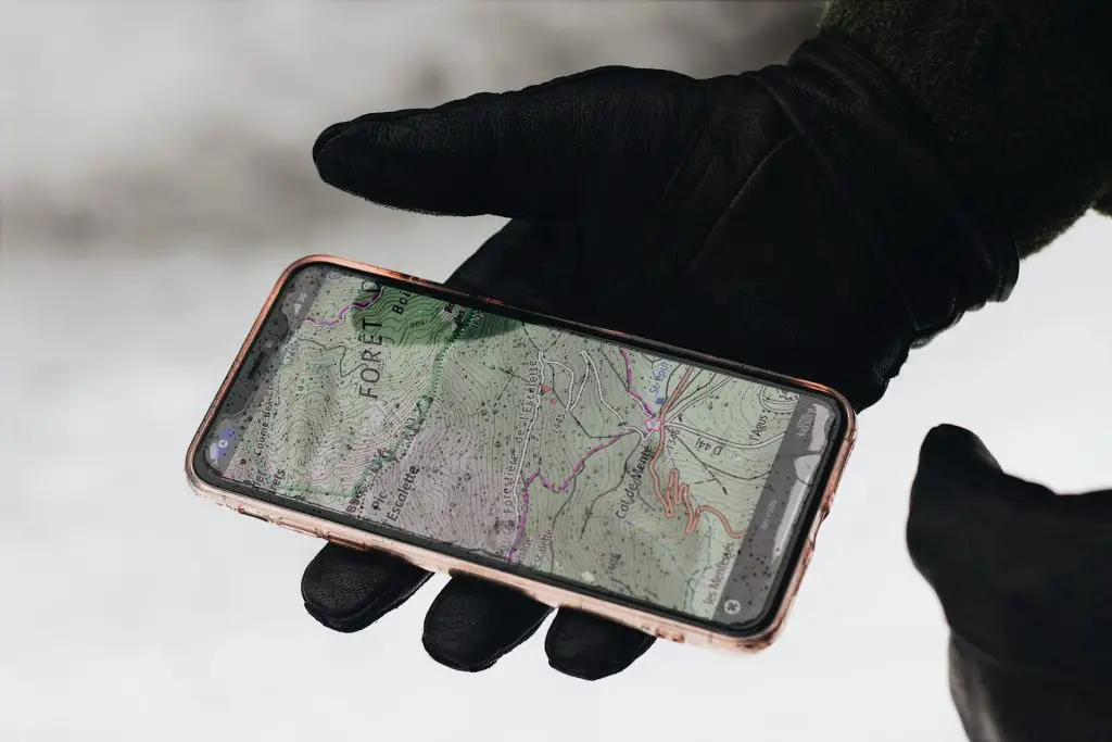
With all of this amazing GPS technology and map apps, why would someone want to use a physical topographic map? There are three main benefits of a physical topographic map that a GPS cannot beat.
Reliability
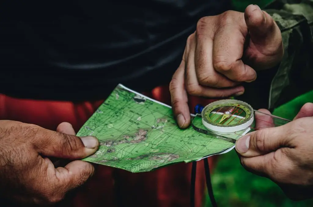
The first and biggest benefit is the reliability of a topographic map when out in the middle of nowhere with no power and no reception. The topographic map will work every single time and is specific to the area that you are in. You don’t have to worry about connecting to a network in order to get the map because you already have it physically in front of you.
Using the map and a compass you will be able to triangulate your position through practice and be able to learn to read the terrain much more easily. Electronic GPS devices can have issues with triangulation or reception, but with a map, you don’t need to worry about any of that.
Batteries Not Required
The next major benefit of physical topographic maps is that they don’t have batteries. Sometimes hiking trips take longer than expected or you might have forgotten to charge your smartphone or GPS device, but with a physical map, you don’t have to worry about any of that.
If you are going backpacking on a multi-day trip then you would need to think about rechargeable batteries or solar chargers, but if you bring a topographic map then you don’t need to carry that extra gear for an electronic GPS device.
How are contour lines helpful to hikers?
Elevation
The contour lines on a topographic map help hikers see a flat piece of paper as 3d land. The contour lines will show you how the elevation is changing on the map. Topographic maps have legends that let you know how much elevation change there is between each of the lines. The further apart the contour lines, then the more gradual the change in elevation. As you start to look at mountain peaks on topographic maps, the contour lines will be much closer together which signal large changes in elevation.
By reading contour lines then you can see when the elevation starts to change dramatically and be able to take note. If there are multiple approaches available for the same peak or destination, then you can carefully pick a route that is easier and more gradual. At the same time if you are conditioning and training then you can purposely choose a more challenging route that has contour lines much closer together.
Steep Drop-offs
Topographic maps help hikers safely navigate outdoor terrain. Another one of the main things to look out for is dense contour lines which will let you know that the elevation changes are dramatic and there are likely steep drop-offs at that area. If you are high up, looking down into a canyon then the contour lines will be very close together where you are standing all the way to the canyon floor.
When reading the contour lines you can see also which sides of the peak are completely not available to hike as they are massive cliffs or if a route has a lot of exposure. These contour lines will reveal the land before you at the location so you can determine the safest path to your destination.
Route Planning
Another great benefit of contour lines is that they can help you plan a safer and more gradual approach to your target destination. If you hiking off the trail or in the backcountry, then by looking at the contour lines you can strategically choose more gradual ascents from a variety of different approaches. This will help you conserve energy and make it a less strenuous hike.
As you plan your routes using a topographic map, you can keep your eye on any potential blockers from steep mountain walls or large river crossings that you may want to avoid. The contour lines will reveal the upcoming terrain for you to strategically plan ahead.
Summary
Today’s technology to help hikers has grown substantially to keep hikers safe, but the one tool that every hiker should bring is a topographic map. Topographic maps will help you figure out your current position, prepare for steep-drop offs, changes in elevation, locate waterfalls, rivers, and more. With this information, you can help decide your route through more gradual elevation gains or if you want a tougher challenge you can pick a more strenuous route.
While topographic maps offer many great benefits, there are some scenarios where you might not need them such as local hikes you are familiar with your well-paved trails. However, if you are considering backpacking, off-roading, or going off well-marked trails then a topographic map will help you navigate uncharted areas that are new to you so that you can hike more safely.